Augusta Walking Trails. Credit Tim Campbell
29.09.2023

The Augusta walking trails are one of the Margaret River Region’s hidden gems.

Tucked away at the end of Caves Road, this is one part of the region less frequently visited. That, of course, adds to the adventure you can find down there.

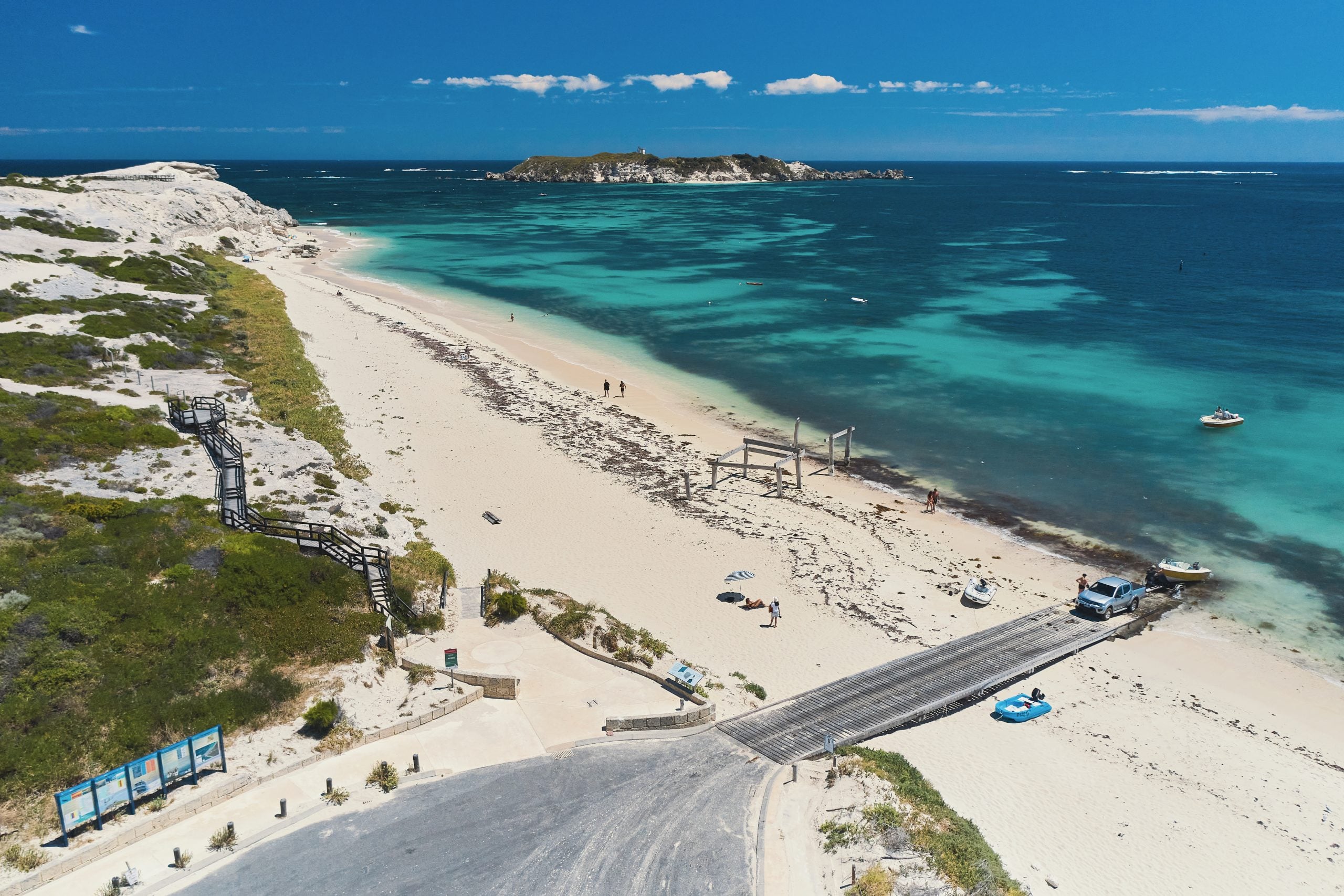
The country surrounding Augusta is more heavily forested than other parts of the region, thanks mostly to the fertile soils of the Blackwood Valley.  It is also where the Southern and Indian Oceans meet, and has a different, wilder feel to the rest of the region’s coast.

There are plenty of walking tracks where you can experience Augusta at its finest and immerse yourself in all the natural beauty it has to offer. Here are a few to get you started.
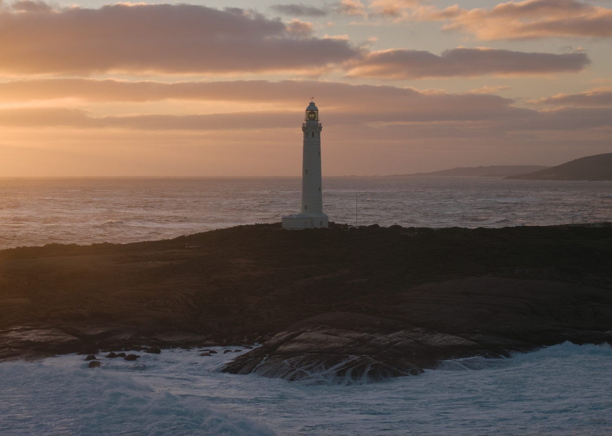
Cosy Corner - Augusta Walking Trails. Credit Elements
The section of the Cape To Cape track south of Hamelin Bay will take you through stunning sheltered beaches, such as the aptly named Cosy Corner. Photo: Elements Margaret River.

Cape to Cape Track – Cape Leeuwin to Hamelin Bay

  • Time: 1-2 days
  • Distance: 25km
  • Difficulty: Hard

This is arguably one of the most challenging and stunning sections of the 125km Cape to Cape walking track. From Cape Leeuwin the track skirts big granite boulders along the coast, before dropping down steep cliffs onto Deepdene Beach. This is a long, stunning beach, where you will feel like you are the only one in the world.

This is a walk for experienced hikers with soft sand and difficult terrain and will take 1-2 days.

For those looking for a milder version of the walk, try Hamelin Bay to Deepdene, which is 10km and will take between half and a full day of walking. You’ll pass the old lighthouse at the beautiful and sheltered Foul Bay, and the granite outcrops of Cosy Corner and Elephant Rock before you arrive at the long expanse of beach that is Deepdene.

Tip: Let Cape To Cape Explorer Tours take care of the planning and logistics, so you can focus on enjoying the experience.

Cape Leeuwin Lighthouse. Augusta Brand Shoot Credit Ryan Murphy
Heading east from the lighthouse will take you back to Flinders Bay, a great spot for a picnic. Photo: Ryan Murphy.

Lighthouse Scenic Loop

  • Time: 4-6 hours
  • Distance: 9km
  • Difficulty: Medium

Starting at the Augusta Boat Harbour, head up and around Skippy Rock Road for stunning vistas of the rugged coastline. You can look out over two different oceans, and coast that faces west, south, and east.

This is a moderately difficult walk along a gravel road. It will take you along beaches, rocks, and through coastal bushland.

Where the path descends to Skippy Rock, check out the fossilised water wheel that the early settlers used to supply the lighthouse keepers with water.

From Cape Leeuwin Lighthouse, head east along the south facing bays, and back to the foreshore at Flinders Bay.

There are picnic tables and facilities here, and it makes a tranquil spot to stop for lunch.

Aerial photo of Blackwood River, Augusta
Enjoy the easy Augusta walking trail from the rivermouth around to Flinders Bay boat harbour. Photo: Tim Campbell.

Whale Trail

  • Time: 1-3 hours
  • Distance: 6km
  • Difficulty: Easy

This is an easy walk along a paved track from the Blackwood rivermouth to the boat harbour at Flinders Bay. It is perfect for young children and families and offers plenty of ideal vantage points to spot wildlife.

Along the waterfront, you’ll pass shady peppermint and paperbark trees, cormorants, pelicans, and maybe even a pod of dolphins.

If you’re lucky, you’ll see whale action in the form of breaching and tail slapping acrobatics from late May to August. The walk runs through the Flinders Bay Caravan Park and is well signposted.

Advice from a Local

Speak to a local expert Advice from a Local Our team of local experts

Our team of local experts are here to help plan and book your stay in the Margaret River Region.