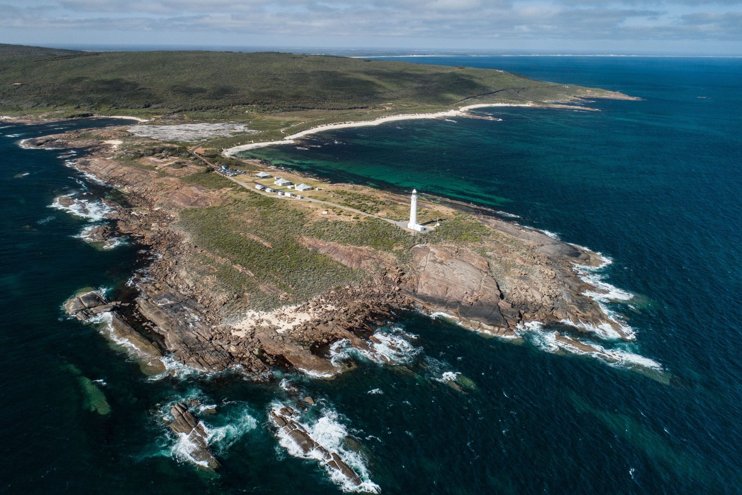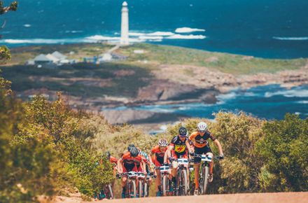
I decided recently, with some annual leave up my sleeve and an urge to tick it off the bucket list, to walk the 135 kilometres Cape to Cape Track.
Hero image: Cape to Cape Track. Credit: Tim Campbell
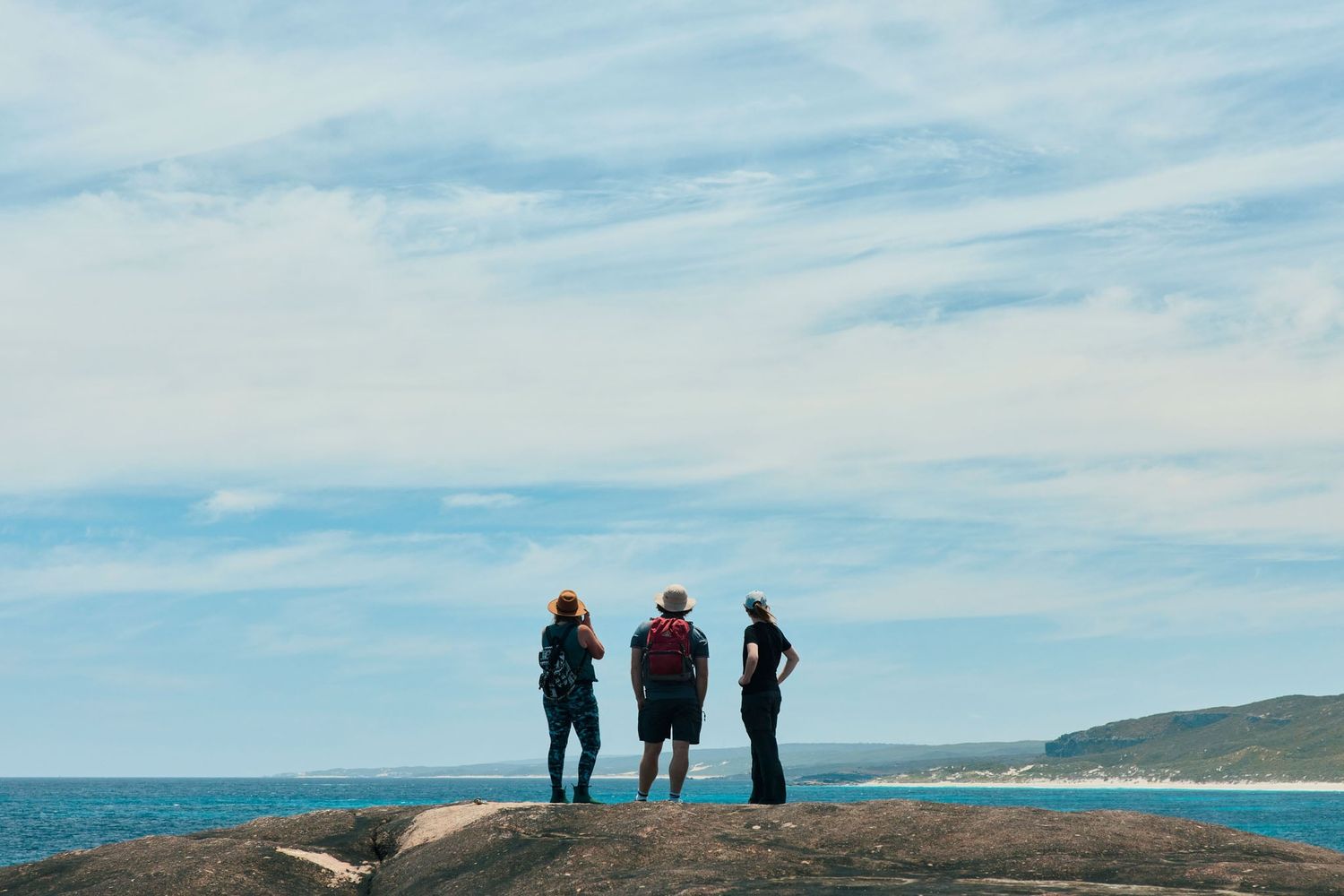
The Cape to Cape Track stretches across 135 kilometres from Cape Naturaliste down to Augusta. Here's the novice's guide to hiking it.

I decided recently, with some annual leave up my sleeve and an urge to tick it off the bucket list, to walk the 135 kilometres Cape to Cape Track.
Hero image: Cape to Cape Track. Credit: Tim Campbell
I am not a hiker, let me tell you – I walk my dog each day on the Wadandi Track (does that count?), but for some reason this was bugging me, and I felt the only way to quell this aspiration was to tackle it head-on. I ran the plan by my Dad, who did the track a few years ago, and asked for some tips. He told me that when he walked it, it was “raining piss and pick handles” (who even says that?) and jovially told me that I should “cut some arm holes into a garbage bag and stick it over your head, kid, you’ll be right”. Cape to Cape advice 101, thanks Dad.
Given Dad’s unworkable guidance, I figured I’d better contact the experts. I’d dealt with Gene Hardy from Cape to Cape Explorer Tours through my job, so I emailed him my plans, suggesting that I tag along on the upcoming ‘luxury’ version of the walk, whereby guests stay at Surfpoint Resort in Gnarabup, which sounded like my cup of tea. Being a Margaret River local, I didn’t need the accommodation (although the notion of a relaxing spa at the end of each day was pretty tempting), so I suggested staying at home each night and driving to the resort each morning in time for the day’s departure.
Gene was ridiculously enthusiastic about the idea, and after checking I’d done some hiking before (which I bluffed my way through), we agreed on a price, and that was that. He sent me some training notes – D-day was four weeks away, so I planned out my weekends and set myself a training schedule. A few weeks later, after some rather eventful practice hikes, including getting lost in the dunes and having to be rescued by my partner, I was ready to roll. Cape to Cape – come at me!
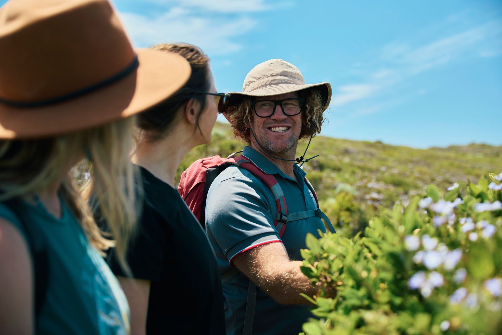
I rocked up at Surfpoint Resort to meet Gene. He’s a tall, fluffy-haired bloke who perpetually looks like he just got out of the ocean after the best surf of his life. He greeted me with a high five and a banana from his garden – “check it out, Margaret River bananas!” he said elatedly – and we jumped in his ute. We met the rest of the group in Dunsborough for a pre-walk briefing over lunch. The main topic of conversation on the way up was the weather – there was 50 mm of rain forecast for Cape Naturaliste that morning. Fantastic.
I kid you not, the rain was torrential. Stopping at the hardware store to grab some wet-weather pants for those who weren’t prepared, we headed out to Bunker Bay with some interesting sightseeing through the fogged-up windows along the way. After lunch and a few jokes about Gene’s supposedly infallible weather app on his phone, we headed out to the walk start point at Cape Naturaliste Lighthouse.
The path from Cape Naturaliste to Sugarloaf Rock is fully paved – a nice, easy start, certainly not indicative of the hard work to come. The idea is to provide universal access for at least part of the Cape to Cape, for prams and wheelchairs. Our luck was incredible – within 30 minutes, the sun came out, and we had to strip our wet weather gear off. The scenery was incredible – Sugarloaf Rock is a must-see, an incredible granite island-like rock formation in the ocean. I also loved Three Bears, a surf spot named after the three differing sizes of waves – mama, papa and baby. Being four-wheel drive accessible only, it was really cool to see some of these spots up Yallingup way. We stopped for afternoon tea at Mt Duckworth Campsite, one of the official track campsites along the way. The home stretch was soft sand along Yallingup Beach, right on sunset – an epic way to finish the day.
So after realising yesterday that I was in the company of some seriously hardcore walkers (like Kevin from Melbourne, a sinewy bloke with a floppy hat, the proper socks and gaiters and trekking poles) – I decided it would be socially acceptable to bring my walking poles today. Luckily, my partner Tim gave me these and a heap of other hiking gear for my birthday a week or so prior. The birthday loot, much to the amusement of my friends who were around at our place for a birthday dinner that night, included a set of shock-absorbent trekking poles, gaiters, a Camel-Pack (an item I thought was only for serious hiking and cycling nerds) and some all-important hiking snacks, including trail mix, Boost bars and Summer Rolls. I would need them today – 20 kilometres is a big step up from 14!
Today’s walk was truly epic. Our guide today was Nyree. With a background in environmental science and zoology, she was super knowledgeable about the flora and fauna – but she also worked another job as a wine tour guide, which came in handy. Everyone learned a lot about wine on this trip! We started from Yallingup Beach and headed south towards Smiths Beach, knowing a hot coffee was waiting for us (perks of the luxury tour option). With Gunyulgup Brook having broken the night prior, we had to strip off shoes and socks, roll up our pants, take a deep breath and hope the water didn’t come any further than our knees… After a flat white and drying ourselves off with the towels kindly lent to us by the Smiths Beach Resort staff, we pushed on past some rocky sections to Injidup Beach – one of my favourite beaches in the region.
After lunch under the trees near Injidup carpark, it was on to Canal Rocks and Wyadup, with spectacular coastal views along the way. We even spotted a New Zealand Fur Seal cruising around near Wyadup Rocks, which was pretty cool. Huge storm swells in the region had swept away much of the sand along the coast, exposing fascinating rock formations. After finishing up at Moses Rock, the end of the day was spent resting our weary legs and tasting some delightful local wines at the rustic Cape Grace Wines, which were accompanied by a selection of delicious local cheeses prepared by the CCET team. Wine and cheese at the end of a long day’s hike – that’s how we roll in Margaret River.
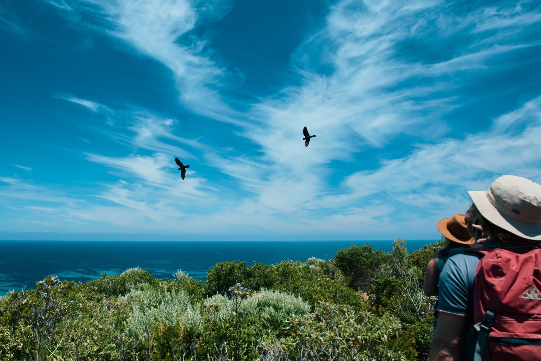
Day three – Gene was our guide. We kicked off the day from Moses Rock, and our mission was to get to Gracetown – a gorgeous seaside township named after local heroine Grace Bussell, who rescued women and children from the shipwreck of the Georgette in 1876. Today’s walk was mainly single track, which meant focusing on where you tread and not so much talking as on the wide four-wheel drive tracks, which were more conducive to group conversation. It was shoes off to cross the Wilyabrup Brook, which had only just broken to the ocean – the joys of walking after a massive rainfall!
Lunch was at Gallows carpark, under a lovely big tuart tree. The Wilyabrup Cliffs, often frequented by rock-climbers and abseilers, were definitely my highlight of the day. We finished up by throwing in a little fishing line at Gracetown, with a takeaway beer from Gracie’s General Store – coz in my books, you can’t fish without beer! En route home, we stopped at Vasse Felix for a wine tasting (of course), and enjoyed a charcuterie platter with a glass of vino, by the cosy fire, which warmed our aching bones. Three days down, four to go!
Today was ‘hump day’ – day four out of the seven-day hike. Almost halfway! We were on a mission to get to Prevelly today, with Nyree as our guide. From a walking point of view, this was the least enjoyable of all the days – 21km was a long slog, and there were quite a few long stretches of undulating four-wheel drive tracks without much scenery. Luckily, Nyree had enough enthusiasm to keep us all motivated until we popped out at the beach for lunch at Joey’s Nose. It wasn’t all bad, though – highlights included a tour of Ellensbrook at Mokidup the oldest homestead in the region, built by the Bussell family, Meekadarabee Falls, the views at Cape Mentelle (the actual Cape, not the winery) and crossing the mouth of the Margaret River (which thankfully hadn’t broken through yet) to get to our final destination at Prevelly. The day ended with a coffee at the Sea Garden Cafe, followed by an amazing degustation dinner at the local Japanese tempura restaurant Miki’s Open Kitchen. Nom.
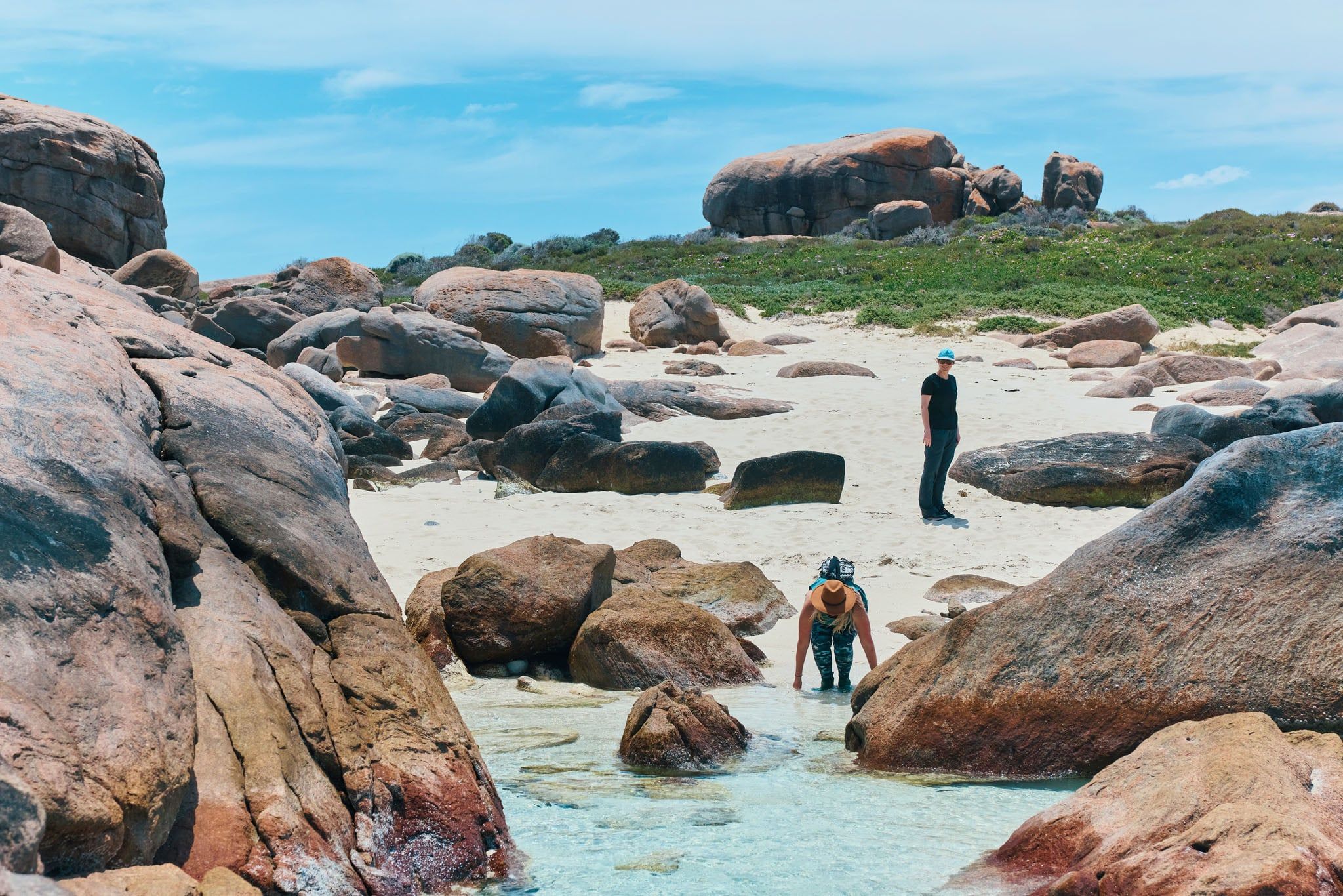
A chilly start to the morning – six degrees! We bumped into Jane Scott this morning; if the Cape to Cape had a mother, it would be Jane. She’s been heavily involved in the track for many years and co-wrote all the guidebooks. She was out on her morning walk in Gnarabup, wearing sandals and shorts – a seasoned winter walker, obviously.
We were headed to Boranup Forest today, and everyone was dreading the 5km sand stretch along Boodjidup Beach. Luck was on our side, however – the heavy rains in the days prior had made the beach nice and firm, so there was no ‘shoe-sucking sand’ as we all feared, which was awesome, and some little hooded plovers running around were a treat.
The best part of today was when we reached Contos, where Gene surprised us by turning up with a picnic lunch – he’d singlehandedly lugged a full esky 500m from the carpark, and even had hot plunger coffee organised – legend. We were all so stoked to come around the corner of the cliff and see Gene’s face beaming at us – it was almost as good as the view over Contos Beach.
The last stretch of the day was 7km (felt like 20km) through the Boranup Karri Forest. The change of scenery to marri, jarrah, karri and peppermint trees was really nice. The day finished up with a caving expedition – Gene’s idea of course – he used to work as a guide at Calgardup Cave, for the Department of Parks and Wildlife. I’d done most of the caves in the region, but this was one I hadn’t seen yet, so I was glad to have the opportunity.
Today’s 21km stretch started where we left off in the Boranup Karri Forest. Another long beach stretch – 7km along Boranup Beach – was at the front of everybody’s minds, but the beach turned out to be fairly firm again, and the views of pristine white sand and blue water made up for the pain in our calves. The group split up along the beach stretch en route to Hamelin Bay. We finally arrived, and the group reported that they’d seen dolphins herding a school of salmon right in close to shore! After a lunch stop and a nap in the sunshine on the grass, we powered on through the ‘optional’ section of the track to Cosy Corner – complete with killer hills, which not all walkers attempted – we were deemed Cape to Cape legends and patted each other on the back. 113km down, 22 to go!
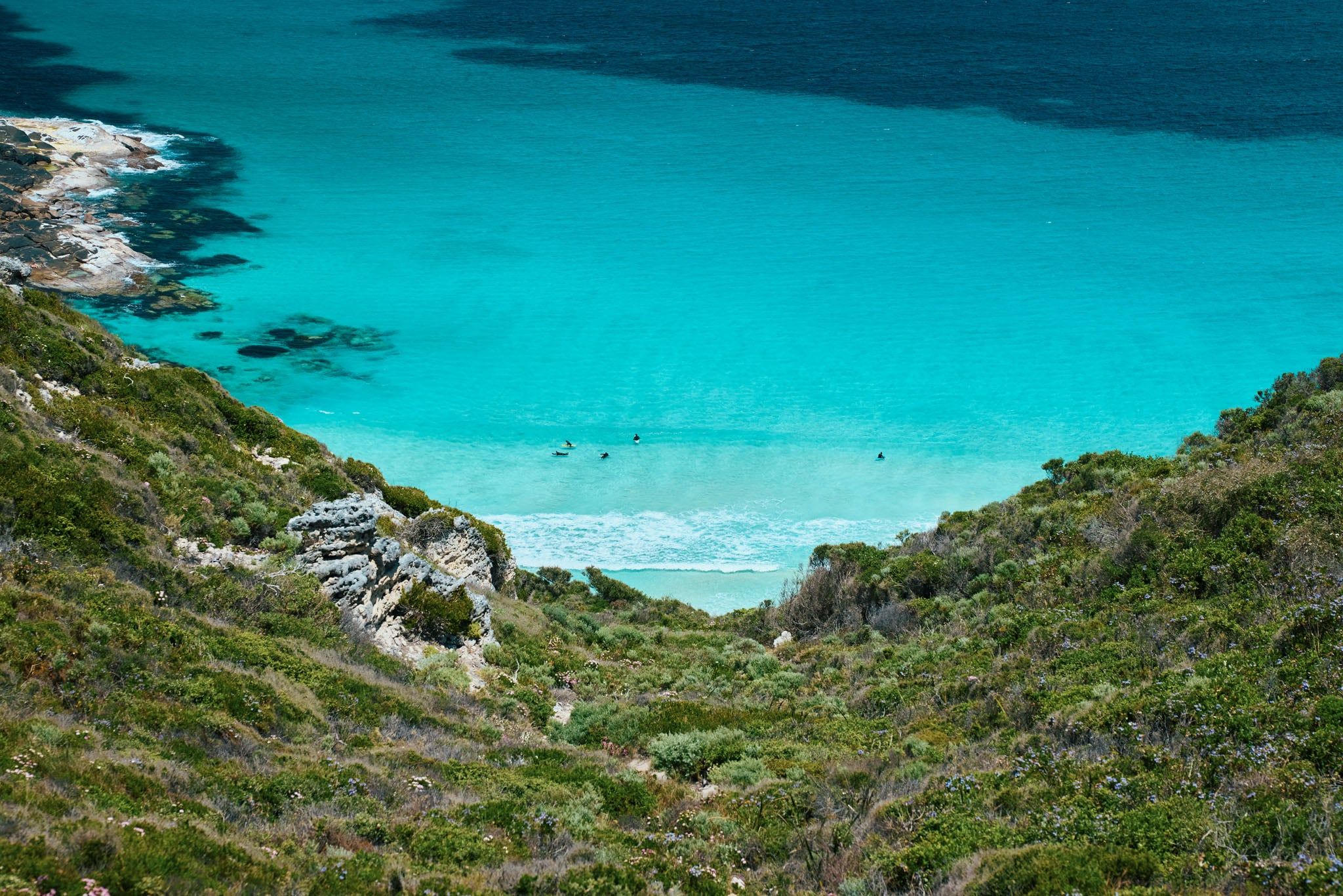
Last day! We all had what Gene referred to as ‘white line fever’, with that tiny lighthouse in the far distance, we all had a spring in our step today. And what a day we had for it – not a breath of wind or a cloud in the sky – the Cape to Cape gods were smiling down on us, that’s for sure!
The day started with picking our way across some rocky limestone formations, with some awesome blowholes spraying water up from underneath. Deepdene Beach was next – another killer sand stretch which turned out to be not so killer thanks to some four-wheel drives that had compacted the sand for us that morning. The second New Zealand Fur Seal for the trip popped its head up to say g’day at Deepdene, which was a thrill. The last few kilometres were surprisingly easy, must have been that white line fever kicking in – the Cape Leeuwin Lighthouse, which at first felt like a mirage, got bigger and bigger until we were finally walking up that road towards it. A few keen people climbed the tower – I’d done it before, so I was content just to give it a big hug, to express my gratitude and elation at finishing this epic hike. After a team photo, it was back to Margaret River, where we freshened up for a celebratory dinner at Sea Gardens Cafe, a few glasses of local wine and a slideshow of the hike. I almost shed a tear saying goodbye to my little Cape to Cape family – you really get to know people when you spend a week with them, and achieve something like this together.
I’ve been around the traps, to Europe and Asia and nearly every state in Australia, but this was probably one of the best travel experiences of my life – and the best part was, it was right in my backyard. The guys at Cape to Cape Explorer Tours were downright superstars – I certainly couldn’t have done this hike without them, and I would strongly recommend anyone planning to walk the track to do it guided with these guys – you just get so much more out of the experience. I learned so much and felt such a sense of achievement at the end of this epic journey.