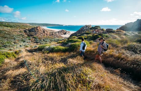
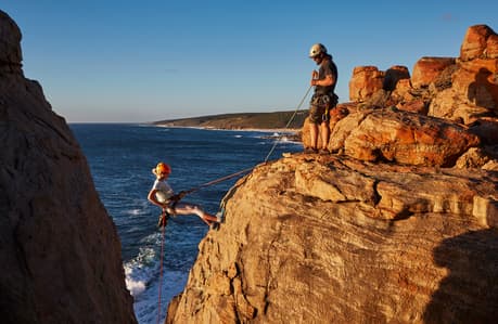
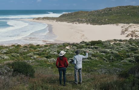
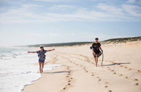
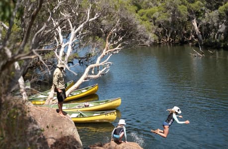
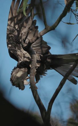
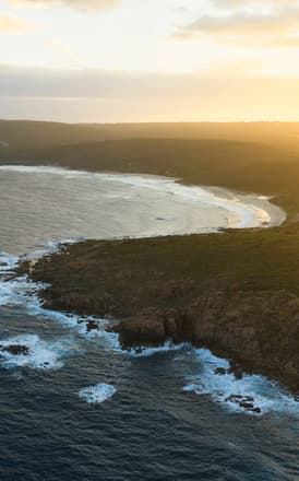
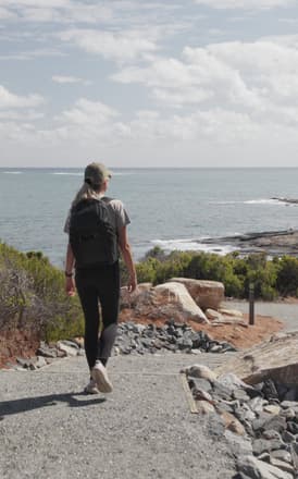
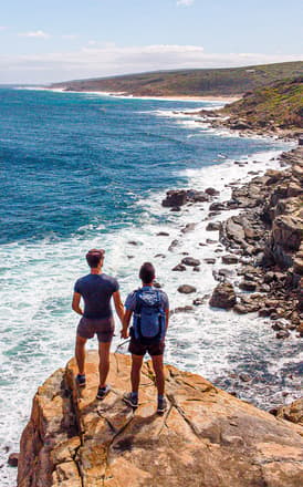
Rated one of the 'Top Ten Multi-Day Walks' in Australia by Australian Geographic, the Cape to Cape Track meanders for 135 km across the spectacular coastline of the Margaret River Region in the South West corner of Western Australia. Walkers pass through coastal heath, magical karri forest and woodlands to sweeping clifftop views, spectacular remote beaches, limestone caves and historic lighthouses.
The track can be tackled as a five to nine-day walk or enjoyed in smaller sections as leisurely half or full-day walks. Camp on the track or choose from a wide range of accommodation nearby from rustic to luxury.
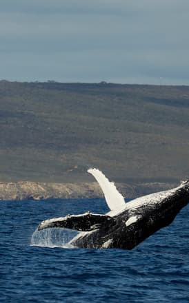
The Cape to Cape Track is accessible year-round. Spring is best for wildflower and whale watching viewing. Autumn offers cooler days, moderate sea-breezes and spectacular sunsets. Winter can be cool and wet (have appropriate gear) with some diversions around the flowing Margaret River and other winter streams, but often means you have the track to yourself. Summers can be hot and dry (check bushfire risks) with the chance to cool off with an ocean dip - but be prepared to carry more drinking water in the summer months as there may be limited supply along the track. The Cape to Cape Track lies almost wholly within the Leeuwin-Naturaliste National Park and is managed by the Parks and Wildlife Services (DPaW). It is a walk track only, no wheeled vehicles or dogs are permitted on the track. Supported walking options are also available; from luxury packages with meals and accommodation to basic camping options, guided or self-guided with specialist local tour operators. A detailed description of the entire track can be found in the Cape to Cape Guidebook by Jane Scott and Ray Forma and official topographic Cape to Cape Track Map Packs complete with terrain profiles and distance tables for planning, are all available for purchase from the Busselton, Dunsborough and Margaret River Visitor Centres and are highly recommended. More detailed information can also be found on the Cape to Cape Track website and park alerts should be checked for the latest track conditions before setting out. Sections of the track that currently accommodate wheelchairs and strollers include:
Cape Naturaliste Lighthouse to Sugarloaf Rock car park: 3.4 km designated 'Access for More' with paving and boardwalks (toilets at both Cape Naturaliste Lighthouse and Sugarloaf Rock car park).
Ellensbrook Homestead: 1 km paved path and boardwalk to Meekadarabee Cave and Falls (toilets).
Ellensbrook Beach: 200 m paved path to a coastal lookout (no toilets).
Redgate Beach: Coastal lookout at main car park (toilets).
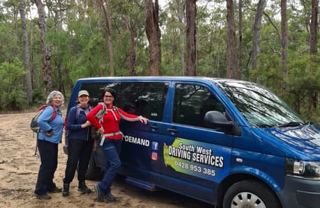
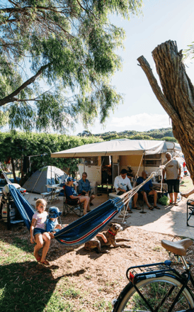
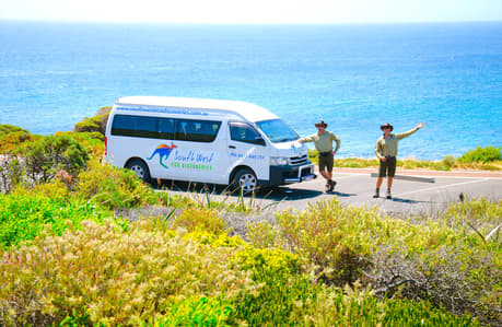
Track difficulty rating: Bushwalking experience recommended. Tracks may be long, rough and very steep. Directional signage may be limited. Moderate to difficult depending on section of trail.Best direction to walk: Either way is good, though most hikers walk north to south. There are more points of access in the northern half. The southern half has more of a wilderness 'feel' and is more challenging with more remote access points. There is often a strong southerly wind in summer.Mobile coverage: Although improving, coverage is intermittent. You may need to move to a high point to obtain reception. Don't rely on a mobile to navigate.Camping: The track has four basic campsites with small water-tanks, drop-toilet and tables, but no shelters. There are park-managed campgrounds on the track at Contos (water) and Point Road (no water) and private caravan parks at Yallingup, Gracetown (3 km from the Track), Prevelly Park and Hamelin Bay.Water: Drinking water is available at townsites and campsites (boiling advised). Water from streams (mostly dry in summer) is not recommended for drinking as it mostly flows off agricultural land. Some springs may have water but are unreliable in summer. Walkers should always carry extra water!Fees: There are no fees for walking on the track. The basic campsites are free, but there is a small charge at the park-managed campgrounds.Campfires: A 'Fuel Stoves Only' policy applies, and no campfires are allowed anywhere along the track at any time, except for seasonally park-managed campgrounds. Parking and transport access: There is no public transport right to the track trailheads. Daily road coach services operate between Augusta, Margaret River, Dunsborough and Busselton and taxis are available from these towns - but its best to pre-arrange the service. Some accommodation operators also offer courtesy drop-offs and pick-up to and from the Track, as do specialist track tour operators or on demand transport operators. Limited national park public parking is available at the north and south track terminus. Cars are left at the owner's risk and is not recommended.
Explore accommodation, dining, experiences & events curated by local experts with insider advice and tips along every step of your holiday planning journey.
Free Concierge Support
Available 7 days a week, 9 - 5. Our local experts can provide a full consultation and booking service free of charge.
Book Direct
We're a not-for-profit local tourism association that helps you book direct with local businesses.


 5
Google Maps